I'm a GIS professional in Portland, Oregon. I spent nearly three years in LiDAR and remote sensing production at Quantum Spatial and NV5 Geospatial, working on vegetation-management programs for electric utilities. My work has centered on data quality control and on writing clear procedures and documentation.
Featured project
PNW Wildfire Risk & Community Vulnerability Explorer
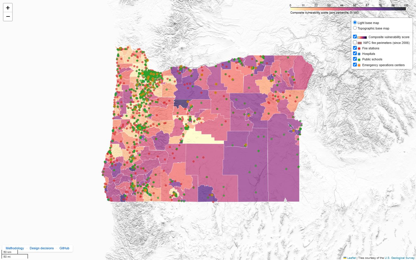
An open-source pipeline and interactive map that combines U.S. Forest Service wildfire hazard data with the CDC Social Vulnerability Index to score all 994 Oregon census tracts. It shows where high wildfire hazard and high social vulnerability coincide, with facility access and fire history for each tract.
I built it in 2026 working with an AI coding agent: I set the requirements, made the design decisions, and reviewed and tested the output. The methods, the limitations and all 30 design decisions are documented in the repository.
Data Analyst and Senior Technician, NV5 Geospatial and Quantum Spatial, Portland
2019–2022
LiDAR and remote sensing production for electric utility programs, including PG&E and TVA. Point of contact for quality checks on two programs. Wrote the procedure and training material for those checks and trained contractors and employees.
Community & Economic Development Intern, City of Vancouver, Washington
2018–2019
Extensive QGIS work for long-range planning staff. Maintained city maps, databases and webpages, and produced outreach materials.
Other experience
Field Service Engineer, SCREEN, Hillsboro
2022–2024
On-site technical service at customer facilities. Edited procedures and documented service activity for customer reporting.
Tools and skills
ArcGIS, QGIS, PLS-CADD, Google Earth Pro
LiDAR and remote sensing quality assurance and quality control
Technical writing: procedures, training material, methods documentation
Basic Python and SQL, used with AI coding assistants
Education
B.S., Community Development, Portland State University